


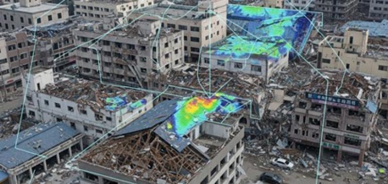
Following earthquakes and other disasters, humanitarian responders need rapid insights into the location and scale of building damage to prioritize assessments and assistance. However, traditional satellite-based assessments can take days, depend on external providers and are limited by cloud cover and missing daylight, delaying critical information during the first stages of a response.
Project overview
An AI-powered solution to rapidly detect possible building damage, regardless of weather conditions.
The challenge
The solution
Augmented Building Damage Assessment (ABDA) is an AI-powered solution that uses Sentinel-1 radar satellite imagery to rapidly detect possible building damage, regardless of weather conditions such as cloud or light conditions. Its automated pipeline compares satellite observations from before and after a disaster and combines the results with building footprint data to produce damage insights for humanitarian mapping and emergency response.
Results
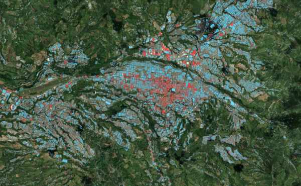
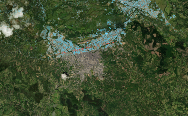
Following the 7.4 magnitude earthquake in Colombia in August 2026, ABDA demonstrated how AI and satellite data can deliver rapid, large-scale insights at minimal cost. Using AI, ABDA leveraged an overpassing satellite to compare observations from before and after the disaster and combined the results with building footprint data to identify likely structural damage. Within less than five hours, the system assessed 2.1 million buildings across a 150,000 km² area, providing critical insights to humanitarian responders. The analysis helped teams prioritize assessments and target resources more effectively, with implementation costs of less than USD 20.
Last updated:
16/10/2026