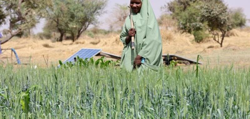
In many vulnerable regions, decision‑makers lack timely, reliable predictions of significantly reduced crop yields, especially during seasons affected by severe weather. Without early visibility into potential crop failures, governments and Country Offices struggle to mobilize resources, plan anticipatory action, and prevent food insecurity before it escalates. Ground data is often scarce, delayed or inconsistent, making early forecasting extremely difficult.
Project overview
Crop Yield Early Estimation (CYEE) introduces an AI‑driven approach that blends satellite imagery with advanced crop and climate modeling to deliver early, season‑long forecasts of crop production, earlier than traditional assessments. This innovation gives WFP and governments a timely, data‑driven early warning system, enabling earlier decisions that can mitigate food insecurity and protect vulnerable communities.
The challenge
The solution
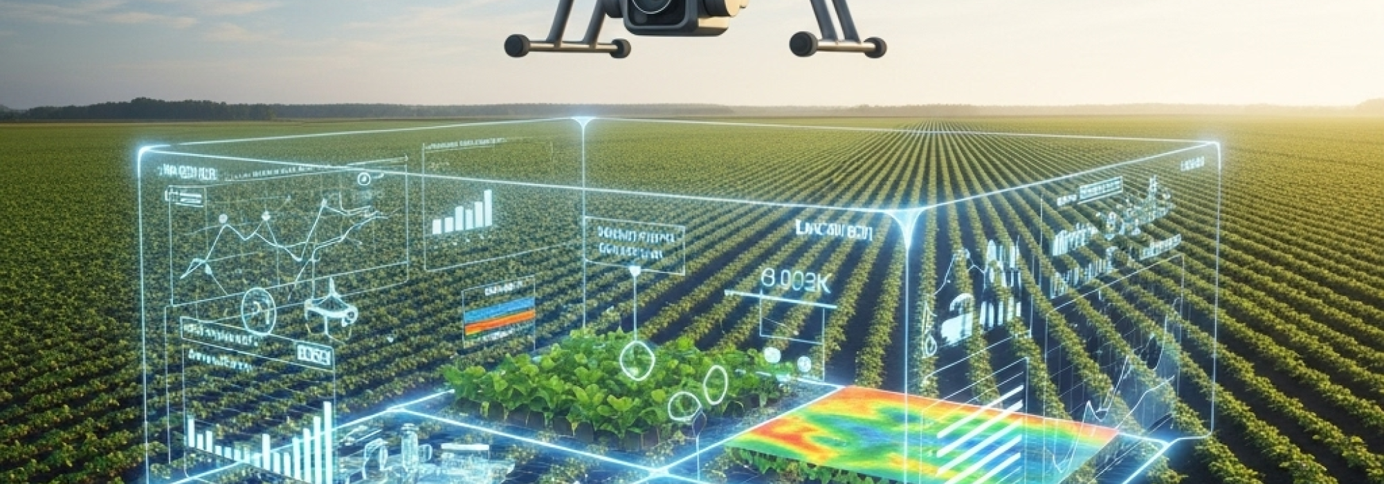
The CYEE initiative combines satellite Earth Observation data, machine learning and crop growth models to deliver province‑level yield forecasts and anomaly alerts well before harvest. It provides progressive, season‑long estimates and flags when projected yields fall significantly below expected levels, helping WFP and governments act earlier and more effectively. By focusing first on regions with homogeneous cultivation patterns, such as maize‑dominant areas in Southern Africa or Sudan, the solution offers a scalable path to accurate and timely crop intelligence.
Results
CYEE is currently in development and early testing stages, with initial testing on demonstrating that the approach can begin to capture meaningful yield patterns using climate and satellite data.
Last updated:
14/04/2026