Project overview

The HungerMap LIVE leverages the power of big data and predictive analytics to track and predict food security in near real-time.

The problem

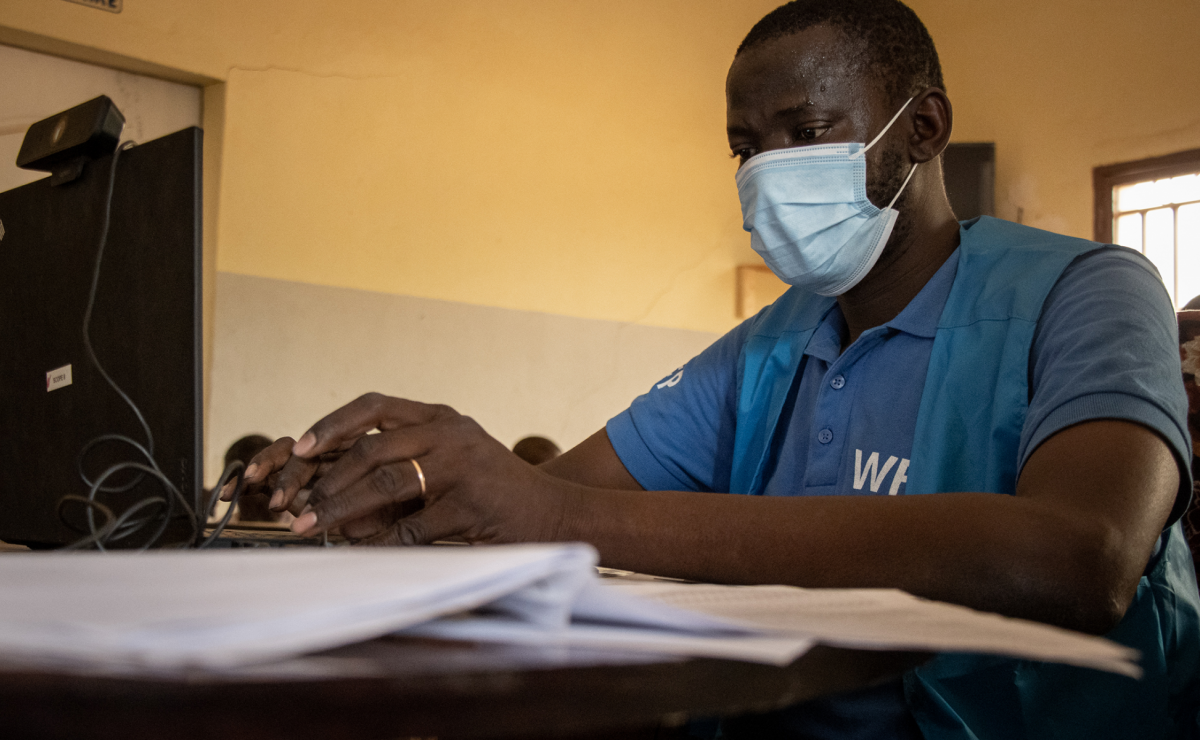
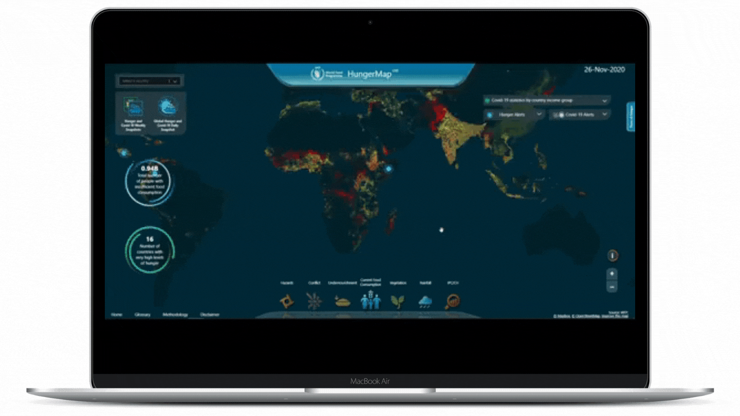
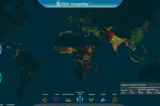
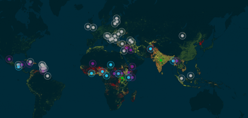
Data is essential for understanding how hunger develops and changes, enabling humanitarians to track and respond to evolving needs.

However, this involves a thorough analysis of information that is often scattered across different data sources and platforms. And when data is not readily available, humanitarians may lack relevant and timely evidence for decision-making, early warning and action.

The solution

The HungerMap LIVE pulls together different publicly available data streams — such as data on food security, weather, population size, conflict, hazards, nutrition, and macro-economic data, including information from WFP's near real-time food security monitoring systems — to track and predict food security in near real-time.

The HungerMap LIVE system integrates advanced analytics and data visualization tools to bring all this information into one place, making it available to all users through an interactive platform and analytic products that provide insights at global, regional and country levels.

Discover more: https://hungermap.wfp.org

HungerMap LIVE (animated)


The way forward

At the height of the COVID-19 pandemic, the HungerMap LIVE was quickly adapted to support WFP’s global response to the pandemic. This meant speeding up the expansion of near real-time monitoring to more countries and integrating COVID-19 information into the analysis.

Throughout the WFP Sprint Programme, the HungerMap LIVE will be further developed by expanding near real-time monitoring systems in up to 60 countries, refining the current machine learning models and forecast food security indicators one month in advance.

Last updated: 21/10/2021