Project overview

The Humanitarian Topographic Atlas (HTA) provides free printable, high quality and up-to-date maps to WFP staff, humanitarian actors and local governments. These maps aid in field operations and lead to better-informed decision-making.

One of things humanitarians need during operations is a topographic map of the areas of operations, with information such as road networks, infrastructures, villages, buildings, natural features, elevation and much more. However, up-to-date and detailed topographic maps are difficult to produce (a single high-quality map normally requires at least 6-8 hours of work if created manually) or are simply unavailable, especially for remote areas in developing countries and during emergencies when internet connectivity and access to electricity are critical.

Photo: Rein Skullerud, WFP


Teams
5
Teams
170
Countries
2,188
Regions
6,400
Grids
20,420
Districts
The solution

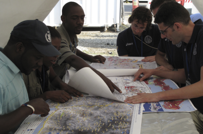
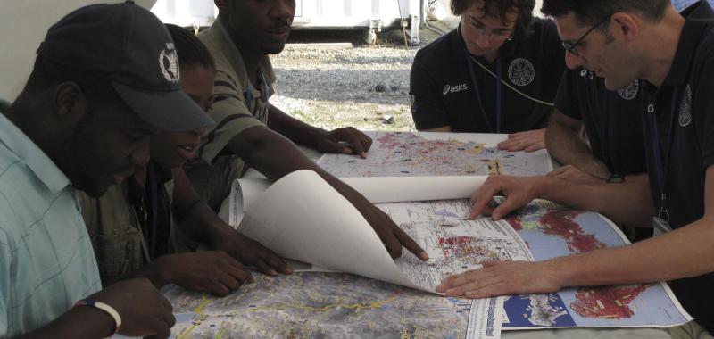
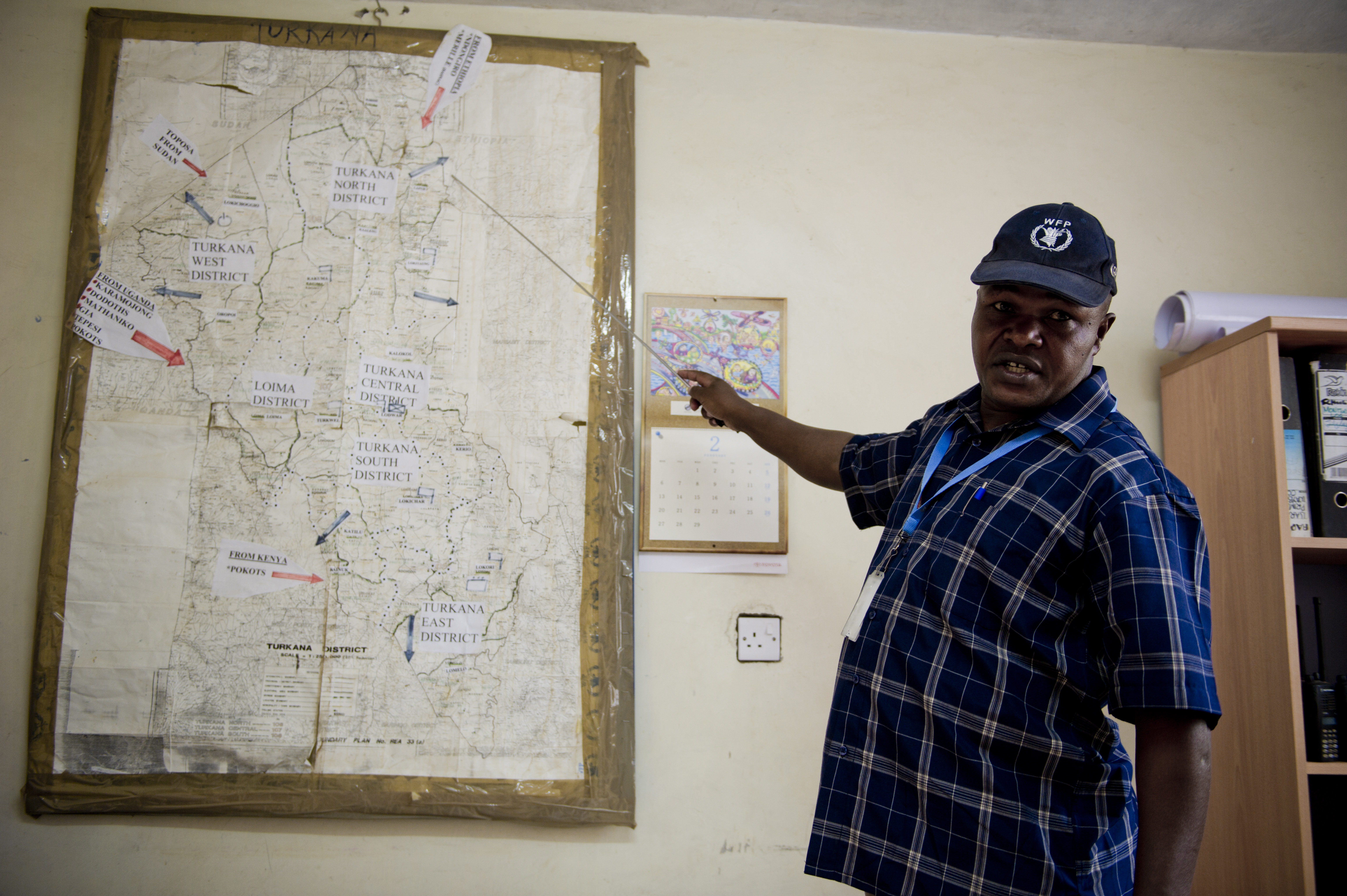
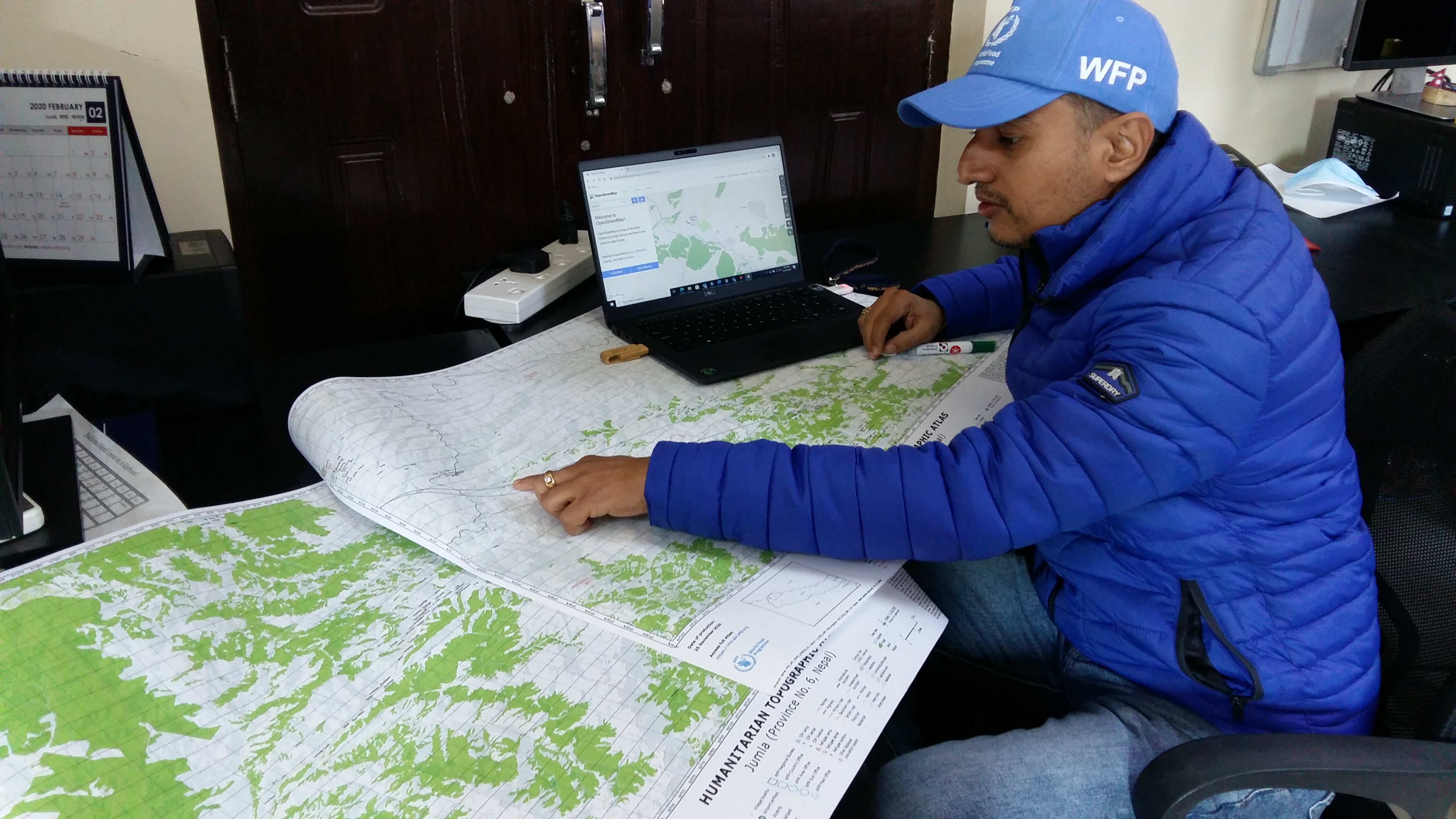
Knowing the context of a territory or terrain is at the core of any efficient humanitarian operation.

The Humanitarian Topographic Atlas (HTA) makes use of custom software capable of harvesting geographic and humanitarian information, creating thousands of high-resolution printable topographic maps at different administrative levels and paper sizes. These maps will give humanitarians and governments the information they need in order to make decisions that will save lives and avoid suffering. They will also maximize the use of valuable resources by cutting down on the so-called 'regrettable deployment', which is the case of using expensive delivery means (such as helicopters) when cheaper alternatives are available (such as road or river networks).

WFP associate using an HTA map. Photo by Shailja Ale, WFP

The project itself consists of three different components:

  1. an automated system that incorporates data from various open-source databases;
  2. a mapping engine able to put together information harvested from various sources into high-quality maps; and
  3. an intuitive and user-friendly website, where programme, logistics and emergency officers can search and download the desired map.

HTA will provide key information at no cost, is completely automated, requires minimum supervision and maintenance, and will serve the wider development and humanitarian community for years to come.

To access HTA, visit: https://hta.gis.wfp.org

The way forward

HTA’s goal is to reach as many users as possible so that HTA maps can make a difference during field operations both in emergency and non-emergency contexts. The team aims to continuously improve and increase the product of the platform, eventually reaching complete global coverage, including developed countries, which were not initially included in the project.

Meet the team

Andrea Amparore
Andrea Amparore
Project Management and Development
Thierry Crevoisier
Thierry Crevoisier
Data Pipeline and Map Design
Olaoya Somide
Olaoya Somide
Python Development
Vamsi Yarramaasu
Vamsi Yarramaasu
System Architecture
Last updated: 18/10/2021