Project overview

The Impact AI project aims to improve the ability of the World Food Programme (WFP) to respond to emergencies caused by natural disasters, and subsequent shocks by better understanding the impact on affected communities via the application of Machine Learning (ML) and Artificial Intelligence (AI) to Geographic Information Systems (GIS). 

This is achieved by empowering youth as part of the EMPACT project, another WFP initiative that aims to connect food-insecure youth to the global digital economy. Participants receive training in various skills, including data labeling and image annotation, which in turn assists in the training of AI systems to deliver more accurate detection of post-disaster landscapes.

The Problem

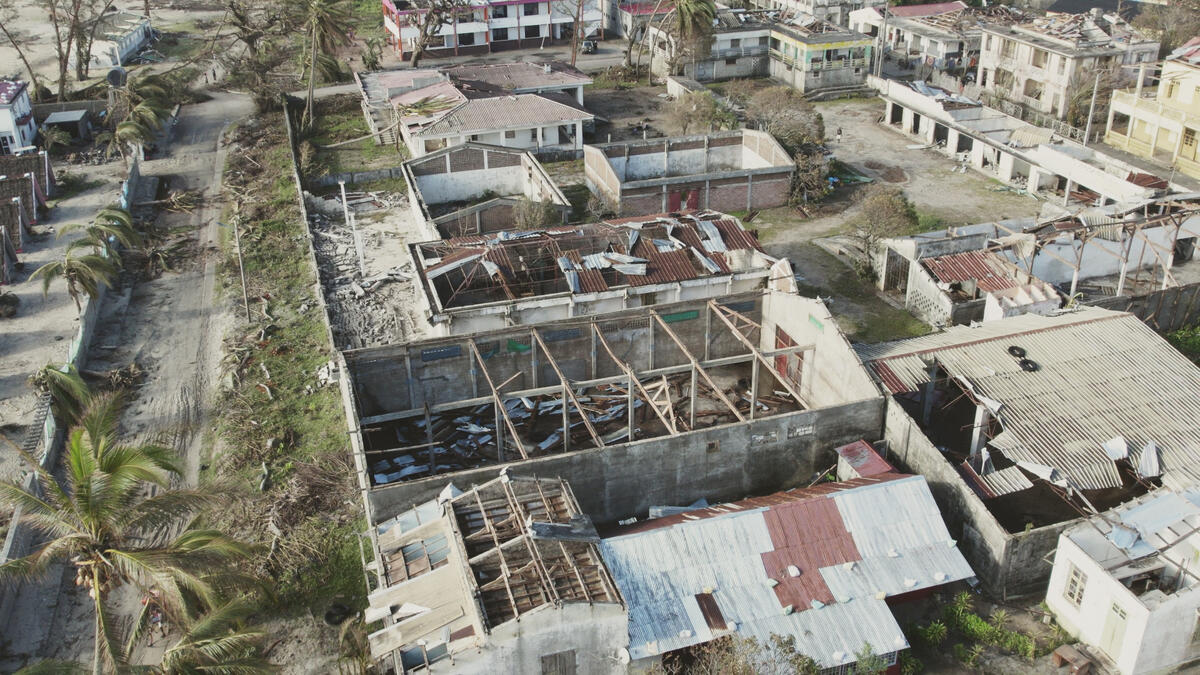
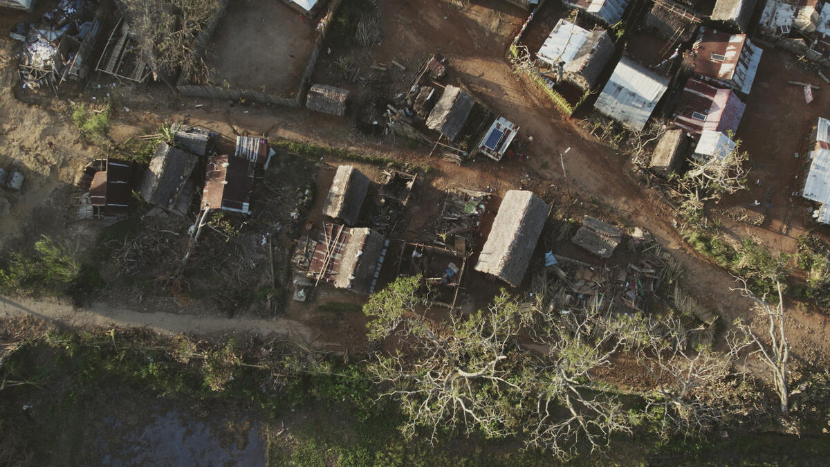
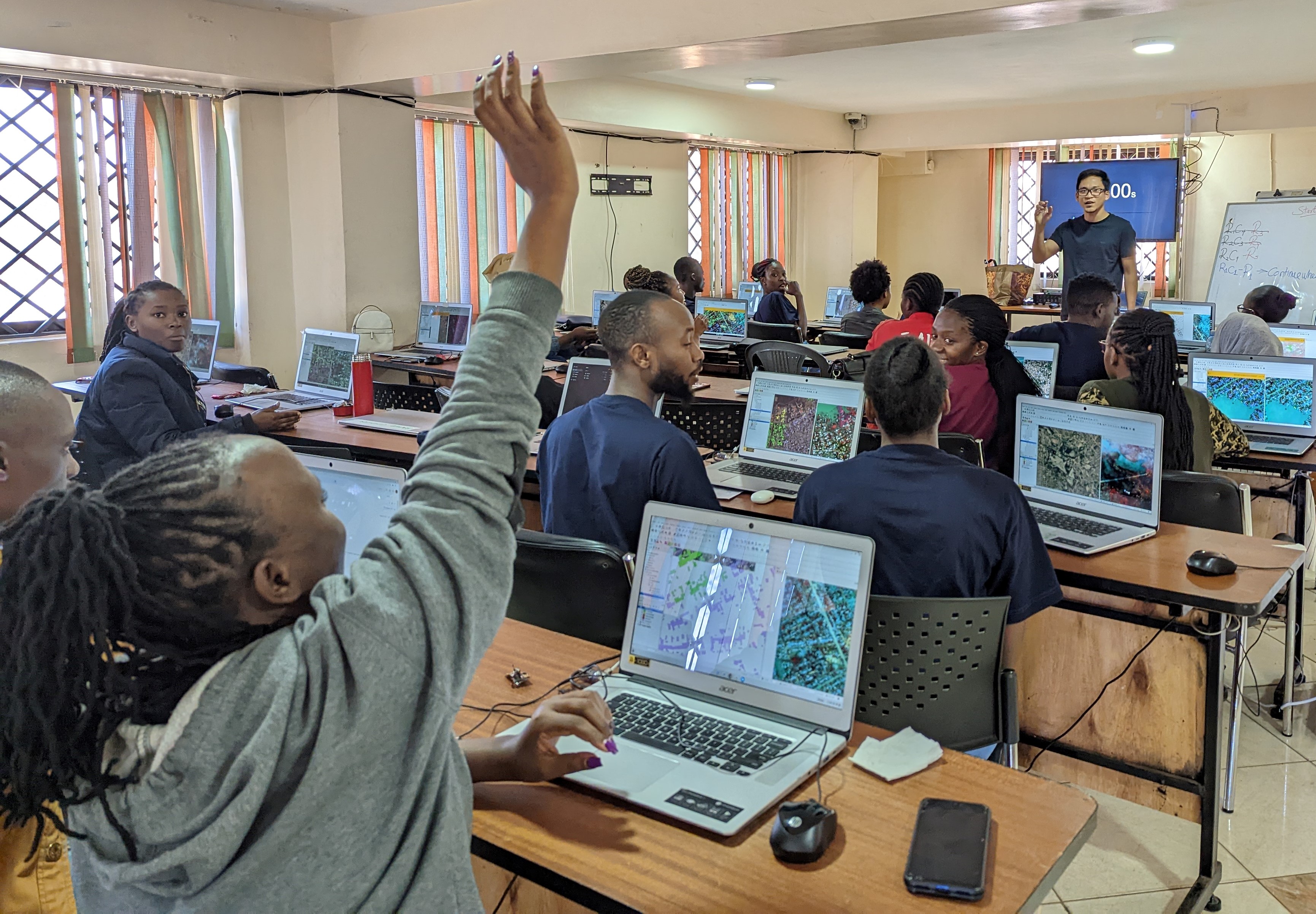
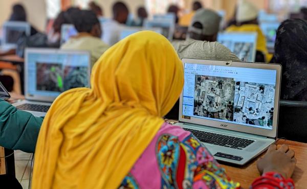
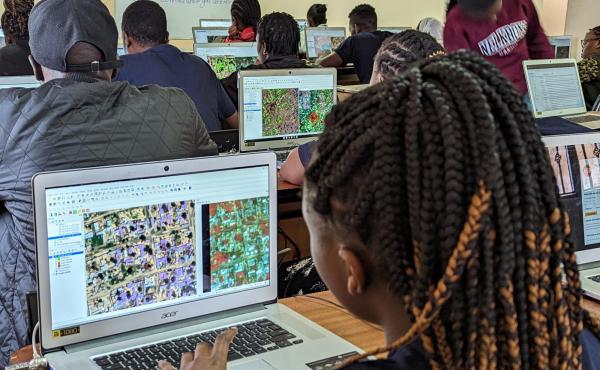
In the first 72 hours of a conflict or natural disaster, WFP's Geospatial Support Unit provides critical operational geospatial information to help visualize and estimate the potentially impacted population. Unfortunately, two critical factors commonly prevent the GIS team from providing timely information. Firstly, the manual processes involved are unable to analyze the amount of data required for necessary damage analysis, and secondly, the Machine Learning (ML) models used in Artificial Intelligence (AI) aren’t always relevant and/or applicable to the contexts where WFP operates.


Drone views of Mananjary, Madagascar, a few days after cyclone Batsirai in 2022.
Drone views of Mananjary, Madagascar, a few days after cyclone Batsirai in 2022. Photos: WFP/Sitraka Niaina Raharinaivo.
The Solution

To prepare for future large humanitarian emergencies that require immediate infrastructure damage assessment, ImpactAI is investing in the creation of global training data, specifically for infrastructure damage assessment using AI and satellite imagery. ImpactAI will engage local communities - through another WFP programme called EMPACT - to make sure the individuals generating the AI training data come from the locality or region where disasters have occurred. This will enable the AI to better understand the complexities and dynamics of infrastructure damage learning from a diverse set of human-labeled information, sourced from around the world.

Through this training, the usual manual process - which usually takes from two weeks to one month for data processing - can now be completed within a much more effective 72-hour response time. 

The current training and accuracy levels have reduced the manual process - which would usually take four hours to analyse an area of 25 square kilometers - down to only 28 seconds. 

ImpactAI training taking place in a classroom in Kibera, Kenya. Photo: WFP/Keerthana Karunakan.
ImpactAI training taking place in a classroom in Kibera, Kenya, 2022. Photo: WFP/Keerthana Karunakaran.
ImpactAI training in progress in Kibera, Kenya, 2022.
The Way Forward

ImpactAI has completed two rounds of pilot testing in Kenya in coordination with the EMPACT team. Through this process, over 30 students were trained in data labeling and identification of damaged buildings and roads. Subsequently, training manuals were able to be developed which enabled users to reach 10% above the baseline manual accuracy level of 60% when detecting damage.

The immediate next steps are to integrate real-time data, to test the AI for various damage assessments, and to validate accuracy levels and response times. The goal of this is to set a baseline for the subsequent round of training data.

The ImpactAI team is also working with EMPACT teams in different countries to strategically plan the way forward in new locations. This will ideally facilitate an improvement in WFP’s emergency response capabilities, while also supporting further skill development of local communities, especially youth.

Group of ImpactAI-EMPACT participants.
A cohort of ImpactAI-EMPACT participants in Kibera, Kenya, 2022. Photo: WFP/Keerthana Karunakaran.

Meet the team

Thierry Crevoisier
Thierry Crevoisier
Mapping and Analysis lead, Emergency Operations Division (EME)
Sirio Modugno
Sirio Modugno
GIS and Remote Sensing Specialist, Emergency Operations Division (EME)
Michael Andrew Manalili
GIS Innovation and Development Lead, Emergency Operations Division (EME)
Nina Merkle
Nina Merkle
Research Associate, German Aerospace Center (DLR) project partner for Data4Human project
Stella Chelangat Mutai
GIS Regional Desk Officer, Regional Bureau Kenya, Emergency Operations Division (EME)
Keerthana Karunakaran
Innovation Ventures Consultant, WFP Innovation Accelerator
Last updated: 26/10/2022