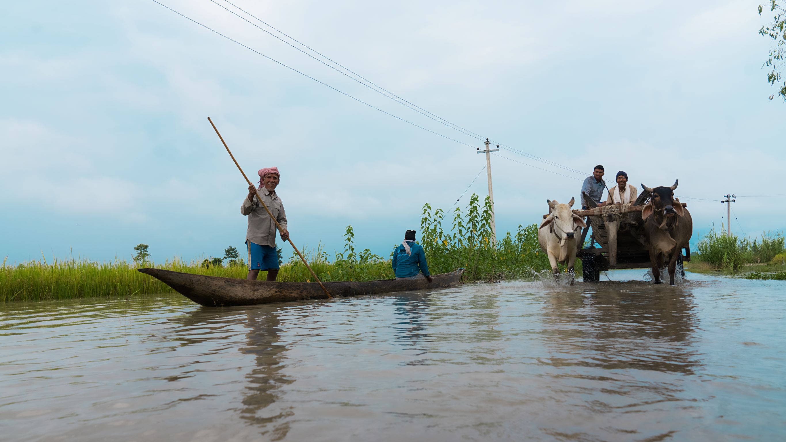
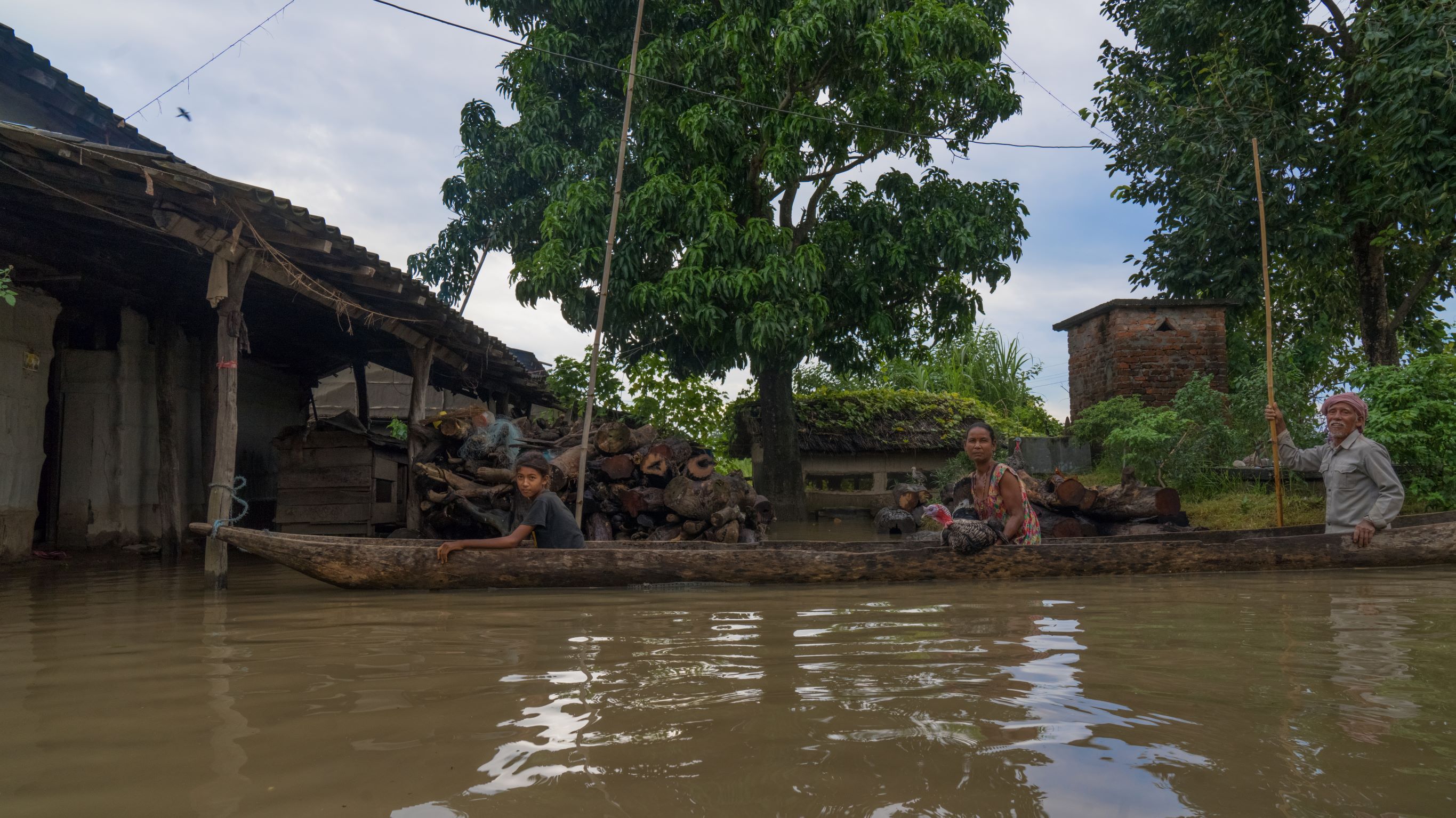
The climate crisis is expected to increase the number and intensity of natural hazards worldwide. Transport logistics information is becoming even more crucial in disaster preparedness and responsiveness due to the essential needs of health care, food security, and evacuation measures. As important information is often unknown or unavailable, emergency responders may get stranded when trying to reach populations affected by disasters and/or when delivering aid in the critical response period, post-disaster.
Project overview
Timely Logistics uses RA2CE - a geohazard network analysis model - to calculate the impact of disasters in near-real-time, enabling the World Food Programme to respond more quickly, secure food distribution, and save lives.
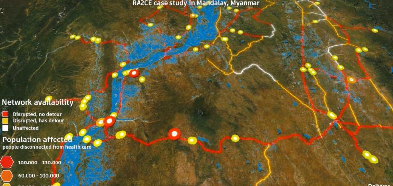
Timely Logistics uses RA2CE (Resilience Assessment and Adaptation for Critical Infrastructure), a geohazard network analysis model, to calculate real-time disaster impact on transportation networks. Analysing disruptions helps identify accessible locations like health centers and markets, aiding emergency responders in faster, life-saving actions.
RA2CE builds on existing tools, offering reliable information for planning and risk management, ensuring effective disaster preparedness and response strategies.
Watch the below video for a demonstration of the RA2CE near-real-time flood impact analysis on road networks in Myanmar. Source: Deltares.
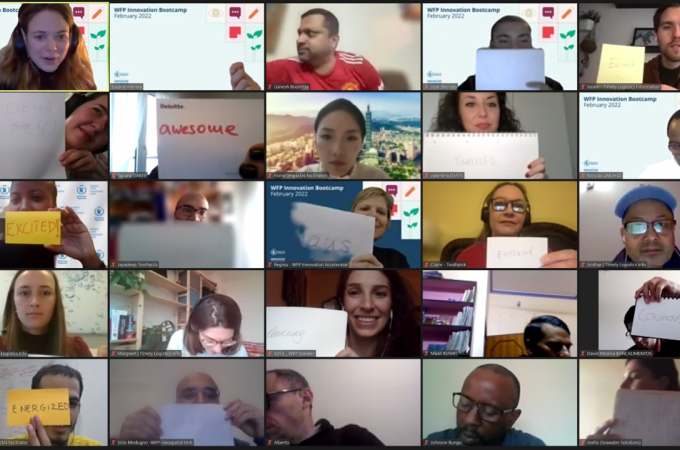
The project is being implemented in Nepal as part of the World Food Programme 72-hour approach for rapid disaster assessments. A simulation exercise was organized under the overall coordination of Nepal Red Cross Society of Bardiya district and technical support of WFP, validating that the information produced by the RA2CE tool is useful and supportive to develop emergency response plans.
WFP Nepal is also seeking Government engagement in developing the solution to ensure adoption and, therefore, a more effective emergency response.